-40%
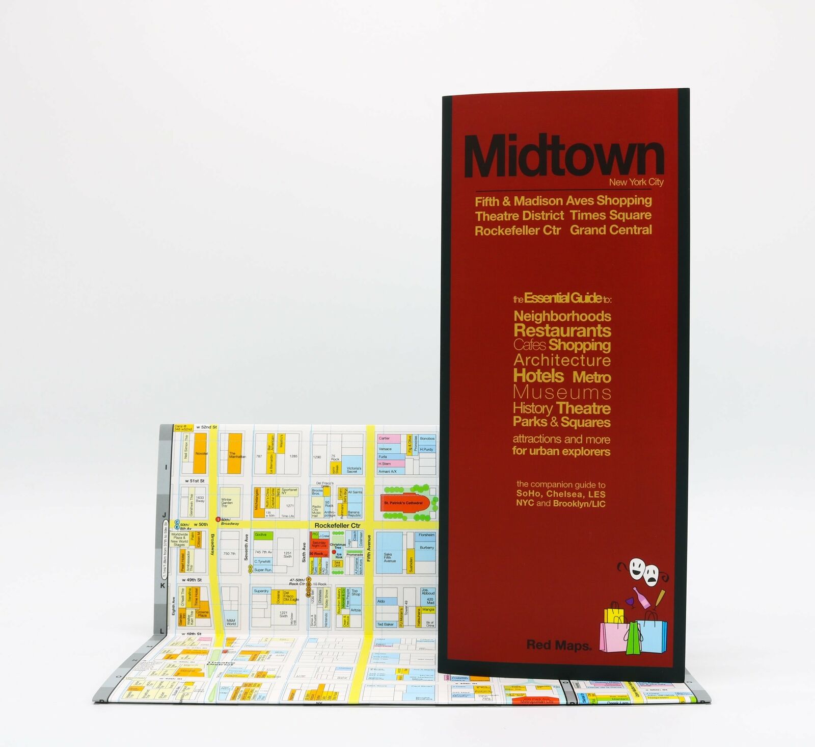
Map of Dublin, Ireland, Street Map, by Red Maps
$ 4.19
- Description
- Size Guide
Description
Map of Dublin, Ireland, Street Map, by Red MapsMAP NEIGHBORHOOD COVERAGE:
Central Dublin, Trinity College, Phoenix Park, Temple Bar. With area map of the nearby Wicklow Mountains National Park and the surrounding villages.
ON THE MAP:
- Museum Highlights & Historical Landmarks
- Independent, Local, and Luxury Shopping
- Centrally Located Hotels
- Theater, Sports, and Performance Spaces
- Metro Stops are shown right on the map!
- Parks, Gardens & Open Spaces
- Accordian-fold map: Open: 24 x 9 in / 61 x 23 cm / Closed: 4 x 9 in / 10 x 23 cm
DUBLIN HIGHLIGHTS:
Attractions to see on the Red Map Dublin include
Trinity College
, the sprawling
Guinness Brewery
, and elegant
St. Patrick's Cathedral
.
The charming
Temple Bar
neighborhood is perfect for an afternoon pint.
Take a walk through
Phoenix Park
- the largest urban park in Europe.
And be sure to see to the pretty green squares of
Merrion, St. Stephens
and
Iveagh
.
Venture outside the city to see the
Powerscourt, Killruddery,
and
Russborough Estates
in the nearby picturesque valleys of the
Wicklow Mountains National Park
.
Despite Red Maps non-inspiring covers, they are great maps!
Copyright 2018, 1st Edition, ISBN
9780998243306


