-40%
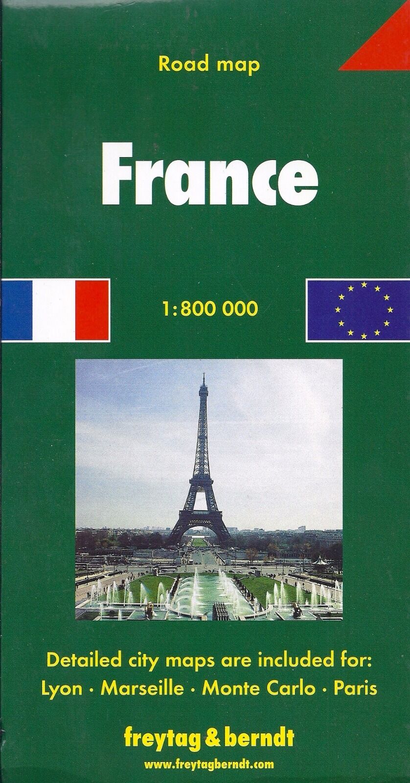
Map of France, by Freytag & Berndt
$ 2.61
- Description
- Size Guide
Description
Map of France, by Freytag & BerndtFolded road & tourist double-sided map of France at 1:800,000 scale that includes an index of place-names and insets of cities in a 63-page booklet. This map is accurate and up-to-date and features shaded-relief coloring to depict topography. Major roads and highways, railways, ferry lines, historic sites, places of interest, camping sites, airports, distances in kilometers, and border crossing points are shown. Detailed city insets include Lyon, Marseille, Monte Carlo, and Paris.
Points of interest (historic sites, national parks…). Terrain mapping. Driving distances are indicated on the map. Index of cities.
Distances between points are shown as well as indications of steep gradients, all distances are in kilometres.
The legend is in several languages including English.
When unfolded, map measures approx. 56" x 36", scale is 1:800,000
Note: Map is new, but shows minor shop wear on cardboard cover.
Map retails for $ 12.95, publication date: 2007, ISBN
978-3707907254


